Craig's Pit Provincial Park is a nature reserve a few kilometres southeast of Marathon, above Lake Superiors north shore. Ontario Parks lists the park at 530 hectares, established in 1985.
The park has no visitor facilities, so it should be understood as a protected landform and habitat reserve rather than a developed day-use park.
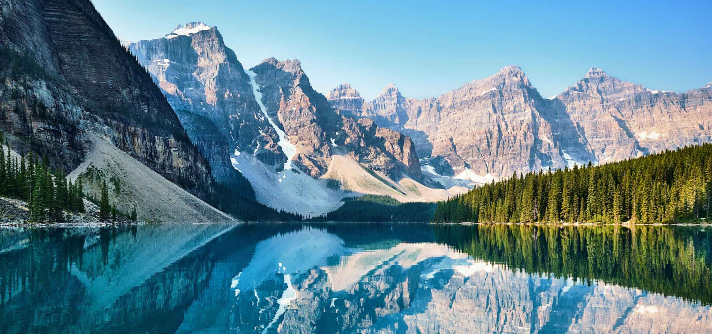
Ontario Parks describes a sand and gravel delta complex fanning out at the base of the Pic River bedrock valley. Sunk into the delta are kettles, both wet and dry depressions formed by melted glacial ice.
One of those kettles is Craig's Pit. The terrain also features high bluffs, and Ontario Parks notes that eagles and hawks nest on top of them.
That combination gives the park a clear long-tail identity: glacial landforms, Lake Superior north shore context, Pic River valley geology, and raptor nesting habitat. It is not a place to assume camping, washrooms, marked trails, or formal visitor services.
The nesting raptor note is also a planning cue: any viewing should keep distance and avoid disturbance. Use the official source to decide whether a visit is appropriate, then rely on nearby serviced areas for practical travel needs.
Plan around official research, learning about delta complexes and kettles, observing bluff and raptor habitat from appropriate access, nature photography where allowed, and using nearby serviced parks or communities for facilities.
Confirm access, maps, no-facility expectations, raptor nesting sensitivity, bluff safety, alerts, seasonal conditions, parking or roadside constraints, and park rules through the official Ontario Parks source before travelling.
Non-operating park in Ontario Parks locator.