Mount Currie, British Columbia: History, Things to Do and Travel Guide
Mount Currie is a Lil’wat community in British Columbia’s Vancouver Coast and Mountains region. It sits near Pemberton, where Lil’wat Nation, valley farmland, mountain roads and the Lillooet River shape the visit.
For travellers, Mount Currie is best approached with respect and context. It is a living Indigenous community and the heart of Lil’wat Nation territory, not a conventional attraction district.
How Mount Currie Started
Mount Currie is part of Lil’wat Nation territory. Official Lil’wat Nation material describes a territory extending from Rubble Creek to Gates Lake, from the Upper Stein Valley to Toba Inlet, with Mount Currie near the centre of that land and history.
The Nation’s own land-use planning describes Mount Currie as the current heart of Lil’wat Traditional Territory. The community is tied to Lil’wat history, language, governance, fishing, harvesting, mountain travel routes and the Pemberton Valley’s river flats.
The modern place-name sits alongside Lil’wat community names and reserve lands. Roads, agriculture, regional services, the Sea to Sky corridor and nearby Pemberton growth have shaped present-day access, but Lil’wat Nation remains the central official source for understanding the community and its lands.
What Mount Currie Is Like Today
Lil’wat Nation says the community near Mount Currie is home to about 1,495 of the Nation’s more than 2,275 members. It is closely tied to Lil’wat Nation governance, community programs, cultural work and nearby Pemberton services.
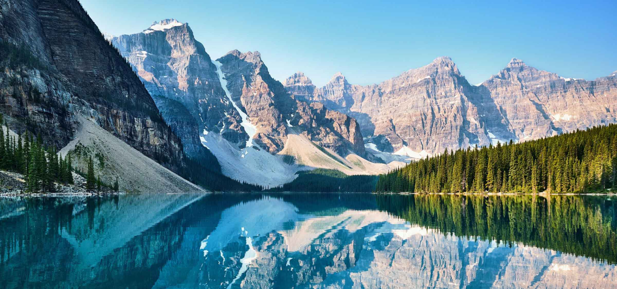
Travellers moving through the area may notice farms, mountain views, community facilities and roads leading toward D’Arcy, Pemberton and Lillooet Lake. The Nation also identifies the mountain known as Mount Currie by its Ucwalmicwts name, Ts’zil, meaning “mountain that slides.”
The community’s visitor role is limited and should be understood through public roads, official cultural programming, authorized events and regional context. Mount Currie is not a sightseeing backdrop; it is home.
Things to Do and Places Nearby
Learn through official Lil’wat Nation sources before visiting. Cultural information, community access and events should come from the Nation or authorized partners. Lil’wat Nation’s public materials point travellers toward cultural performers, artists and the Lil’wat7ul Culture Centre as ways the Nation shares culture beyond the community.
Pemberton provides visitor services, food, fuel and accommodation close to Mount Currie. The Pemberton Valley, Lillooet River roads and mountain scenery can be part of a regional trip, but stops should be chosen with attention to public access and private or reserve land.
The Squamish Lil’wat Cultural Centre in Whistler is a useful official cultural learning stop for travellers also visiting the Sea to Sky corridor.
Mount Currie is also part of a wider Pemberton-area travel route. Travellers may pass through on the way to lakes, farms, backroads or the Duffey Lake Road, but any public cultural opportunity should be confirmed through official Nation information or authorized organizers.
The surrounding valley can be busy with visitors heading to lakes and backroads. Slow down through community areas and avoid stopping for photos where it intrudes on homes, schools, offices or local facilities.
Quick Facts
- Province: British Columbia
- Region: Vancouver Coast and Mountains
- Municipality type: Indigenous community
- Population reference: about 1,495 Lil’wat Nation members living near Mount Currie; more than 2,275 members overall
- Official website: https://lilwat.ca/
- Main travel areas: Public roads, Lil’wat Nation community context, Pemberton Valley, Lillooet River routes and authorized cultural learning sites
- Key routes: Highway 99, Portage Road, Pemberton Portage Road and regional valley roads
Travel Notes
Respect community access, private property and reserve lands. Use public roads and official visitor information.
For services, plan around Pemberton unless you have confirmed a specific public stop in Mount Currie. For cultural learning, use public museums, authorized programs and official Nation resources; do not assume events, offices or community spaces are open to drop-in visitors.