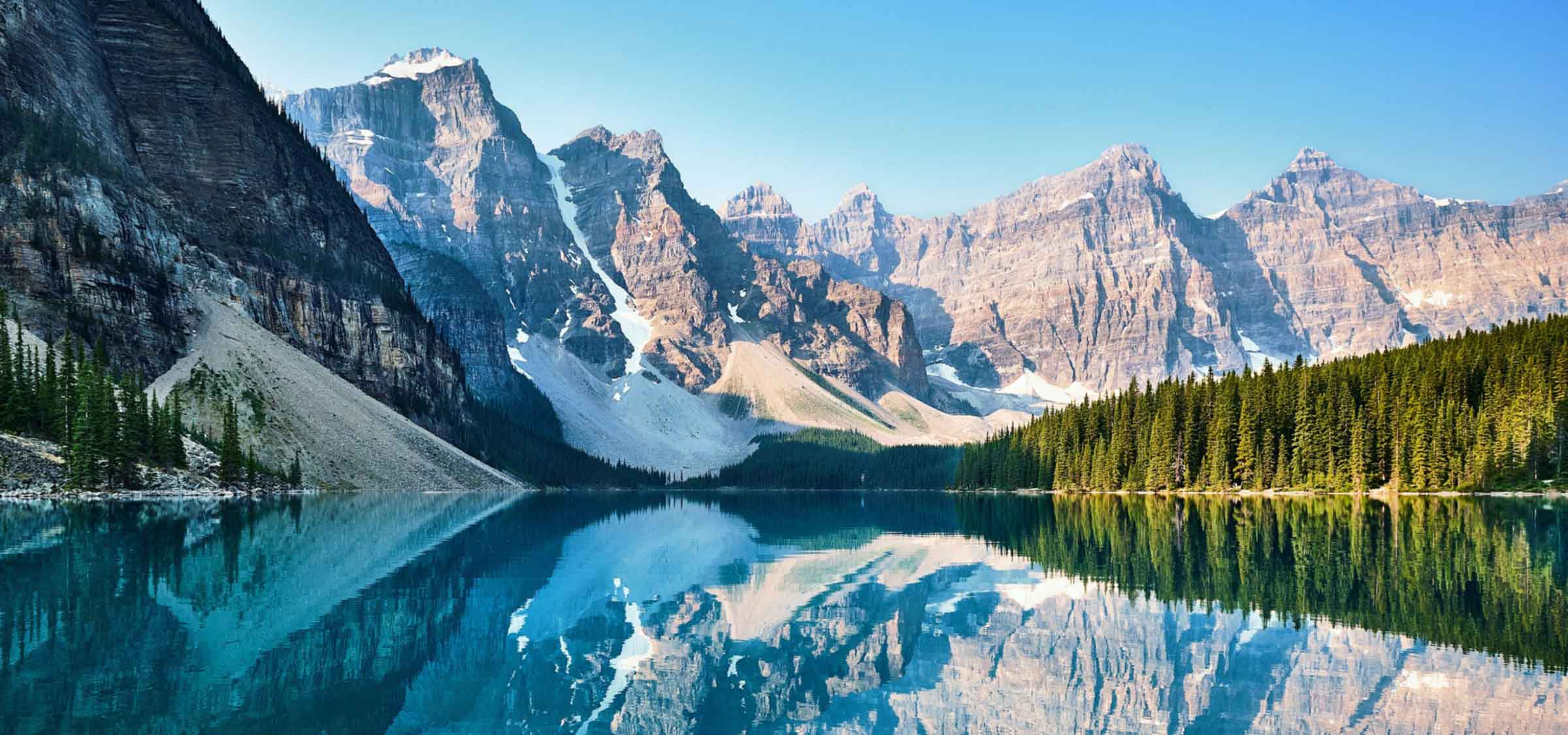
Tulita, a hamlet nestled in the Sahtu Region of the Northwest Territories, Canada, is a place of natural beauty and rich history. The name Tulita, meaning "where the rivers or waters meet" in Slavey, perfectly encapsulates the geographical charm of this place. It is situated at the junction of the Great Bear River and the Mackenzie River, with the Bear River originating from the nearby Great Bear Lake. Tulita is surrounded by lush forests, continuous permafrost, and majestic mountains, making it a picturesque destination for those seeking a serene getaway.
Originally known as Fort Norman until 1 January 1996, Tulita has a history that dates back to the 19th century. It started as a Hudson's Bay Company trading post and has occupied various geographical locations before settling into its modern community. The name 'Norman' is believed to commemorate either Alexander Norman McLeod or Archibald Norman McLeod, both of whom were prominent figures in the northwest during the early 19th century.
Between 1863 and 1869, Fort Norman was located on Great Bear Lake, near the present location of Deline. It was an HBC post commanded by Nichol Taylor, and Roman Catholic missionary Émile Petitot operated a small mission here during that period. In 1869, Nichol Taylor moved Fort Norman to its present position at the confluence of the Mackenzie and Bear Rivers.
The community gained prominence during the 1920s oil staking rush along the Mackenzie River, where oil was developed and marketed at what became known as Norman Wells. Today, Tulita is a permanent settlement for the Sahtu Dene people, on whose traditional land the original trading post was built.
According to the 2021 Census of Population conducted by Statistics Canada, Tulita had a population of 396 living in 134 of its 160 total private dwellings, a decrease of 17% from its 2016 population of 477. The majority of the population is Indigenous, comprising First Nations and Métis. The main languages spoken are North Slavey and English, with some Dene.
Tulita is accessible via air year-round, served by Tulita Airport. The majority of flights originate from the regional centre, Norman Wells. During mid- to late winter, a winter road links Tulita to Wrigley and the Mackenzie Highway. In summer, access is available by barge or canoe, from Hay River along the Mackenzie River.
The hamlet offers a range of amenities including a hotel, Northern Store, Royal Canadian Mounted Police detachment, and a nursing station. The Chief Albert Wright School caters to students from grades K-12, and the hamlet also houses a library, arena, recreation hall, and fitness centre.
The Dene First Nations people of Tulita are represented by the Tulita Dene First Nation, a band government operating within the community. The TDFN is a member of the Sahtu Dene Council, joining the Behdzi Ahda' First Nation, Délı̨nę First Nation, and Fort Good Hope First Nation. Treaty Indians from the community are party to the Sahtu Agreement, which gives them shared title to 41,437 square kilometers of land in the Sahtu Region.
Tulita experiences a subarctic climate with generally mild to warm summers and cold winters. Peak snowfall occurs in the months of October and November, while rainfall is limited to the warmer months. Despite the cold, the beauty of Tulita, Northwest Territories, remains undiminished, making it a must-visit destination for history buffs and nature lovers alike.